
McDonough ZIP Directory Coverage
USPS sources verify two delivery ZIPs served by the McDonough Main Post Office. They are practical mail zones, not municipal districts. ZIP 30253 includes the core, downtown, courthouse area, and broad west and south delivery territory. ZIP 30252 covers the east and northeast mailing area, including Ola and Kelleytown-side communities. Both extend beyond the incorporated city. Neighborhood wording is useful orientation, but it is not an official polygon guarantee.
| ZIP Code | Areas Covered | Post Office | Notes |
|---|---|---|---|
| 30253 | Core, downtown, courthouse, west and south delivery | McDonough Main Post Office | Extends outside city; main box facility |
| 30252 | East and northeast, including Ola/Kelleytown-side territory | McDonough Main Post Office | Many addresses are unincorporated |
No official source in the research identified a separate McDonough PO-box-only or unique institutional ZIP. The same main facility at 100 Postmaster Drive serves both verified zones and can be reached at 678-432-4319. That shared office is a useful clue, but it does not make the two ZIP areas one legal jurisdiction. The McDonough ZIP code directory therefore keeps postal service, incorporation, and parcel jurisdiction in separate columns of the search.
One McDonough Post Office
The USPS Office of Inspector General confirms that one McDonough office services both 30252 and 30253. This is the clearest official answer to which postal zones belong in a McDonough ZIP code directory. It also explains why a city-and-state ZIP lookup can return both numbers without saying whether a given parcel is inside the city. USPS establishes delivery geography; Henry County and the city establish other boundaries.
The official USPS ZIP Code Lookup is the first check for postal naming.
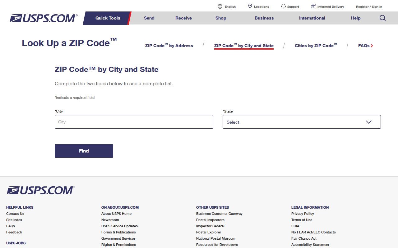
The result verifies mail routing, while a second county check determines whether the address belongs to incorporated McDonough.
Query McDonough ZIP Records
Henry County ArcGIS is the strongest inspected ZIP-capable record source. Its parcel layer exposes postal city, ZIP, incorporated status, jurisdiction, address components, subdivision, land lot, district, zoning, acreage, census tract, and voting districts. A qPublic link bridges from the mapped parcel to assessor ownership and valuation data. The GIS layer itself does not state an owner name, so it cannot replace the parcel card.
| Field | What It Tests | Search Note |
|---|---|---|
| ZIP | Postal delivery zone | Query 30252 or 30253 |
| POSTALCITY | Mailing city label | Not proof of incorporation |
| INCORPORAT | Inside or outside city | Compare with city maps |
| JURISDICTI | Responsible local jurisdiction | Use for agency routing |
| FULLADDRES | Parcel's full site address | Follow QPublic link |
The service can return up to 2,000 records. A broad ZIP query may therefore need a narrower filter or client pagination. qPublic has no verified ZIP filter, so do not describe it as a ZIP-wide search. Use ArcGIS for the zone and jurisdiction fields, then open qPublic for the selected parcel.
The Henry parcel addressing layer displays the official queryable fields.
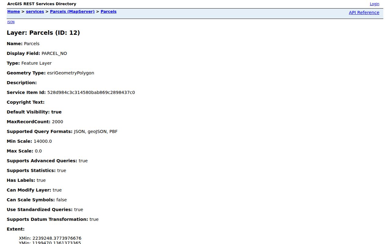
Its separate postal, incorporation, and jurisdiction values document the key McDonough boundary quirk.
Find McDonough Residents by ZIP
A ZIP-wide search is a narrowing tool, not a list of all occupants. ArcGIS can select parcel addresses by ZIP and show jurisdiction. qPublic then identifies assessed owners for individual parcels, but an owner may live elsewhere and a resident may not own the property. Georgia's paid voter-list system includes ZIP and municipality fields, while My Voter Page is an identity-gated self lookup and cannot browse a whole zone.
- Verify the mailing city and ZIP through USPS. Do not infer city limits from that result.
- Query Henry ArcGIS for 30252 or 30253, then inspect incorporation, jurisdiction, and full address.
- Follow a selected parcel's qPublic link to review its owner, mailing address, situs, and deed reference.
- Use a lawfully obtained voter list only for permitted civic research, and remember it never lists every resident.
Once a postal zone narrows to a road, the McDonough street directory provides the address-level workflow. That handoff avoids overclaiming what the ZIP code directory can reveal. Parcel cards, deeds, and lawful voter data describe different groups; none is a full household roster.
McDonough Annexation and ZIPs
Annexation can move a parcel from county to city permitting, planning, policing, or occupational-tax jurisdiction without changing its ZIP code. A 2018 McDonough resolution records unincorporated residents and businesses seeking annexation, which shows the distinction in practice. Conversely, a postal McDonough address can remain outside the city. The corporate-limit map and annexation action are stronger evidence than a mailing label.
No official historical ZIP split, realignment, or systematic street-renumbering year was found. A reliable search should not invent one. When an old address appears inconsistent, compare plats, Sanborn sheets, ordinances, and consecutive directories. Legal land lot, district, and subdivision descriptions can continue to identify the parcel even when its street wording or jurisdiction changes.
McDonough Growth Changes Searches
McDonough's official 2020 population was 29,051, and the July 2025 estimate was 33,395. That 14.5 percent growth helps explain why a stale directory or mailing address should be treated as historical evidence rather than current proof. Census estimates also show that only 80.4 percent of residents lived in the same house as one year earlier. People and addresses change faster than postal zone names.
These figures describe the incorporated city, not the complete 30252 and 30253 delivery territory. Mixing city counts with ZIP populations would blend unlike geographies. The ZIP code directory uses city growth only as a warning about time and scope. Confirm the date of every parcel card, voter record, court filing, and directory entry before tying it to a current person.
Route McDonough ZIP Requests
A postal result becomes useful only after it points to the right records office. For an incorporated McDonough parcel, city offices may hold permits, code matters, municipal cases, council-district data, and city open-records material. Henry County agencies keep the tax roll, parcel GIS, county planning and building files, elections records, and county public-safety material. Court clerks remain separate from general city and county administration. The ZIP code directory supplies the first geographic cut, while the incorporation field settles which local level should receive a request.
Write down the full address, ZIP code, parcel number, incorporation value, and jurisdiction value before contacting an office. Ask for an existing record with a clear date range. Georgia's Open Records Act does not require a custodian to create a fresh ZIP roster or custom compilation. If the desired data already exists electronically, a narrow request for defined fields is stronger than asking an agency to identify everyone in a postal zone.
Older address research needs a different route. The legal land lot, district, subdivision, deed reference, and plat can bridge a change in postal wording. Those stable parcel identifiers let the Clerk, assessor, or archives distinguish the same land across time. ZIP 30252 or 30253 may orient the search, but the legal description carries the record trail when street names and city limits do not.
McDonough ZIP and City Limits
ZIP codes are built for mail delivery. McDonough city limits determine municipal authority. Both 30252 and 30253 cross outside those limits, so a McDonough postal name does not prove city residency. Community View can test the city boundary, and Henry ArcGIS exposes incorporation and jurisdiction as fields distinct from postal city and ZIP. That difference decides whether a record request belongs with McDonough or a Henry County office.
- ZIP vs ZIP+4
- A ZIP identifies a delivery area; ZIP+4 narrows a segment such as a block face or group of boxes.
- PO-box ZIP
- A code assigned chiefly to post office boxes rather than street delivery.
- Unique ZIP
- A code assigned to one high-volume organization. None was verified for McDonough.
- Carrier route
- The set of addresses served in one postal delivery route.
The safe rule is simple: verify delivery with USPS, city incorporation with Community View or a corporate-limit map, and parcel jurisdiction with Henry GIS. That three-part check prevents a ZIP code directory search from reaching the wrong custodian. It also keeps postal geography in its proper role as the broad first cut, not the final statement about a person or property.