
Walk a McDonough Street Record
An address search works best as a chain. Henry County records can establish the tax owner, parcel boundary, legal description, recorded transfers, and public facts tied to a site. A listed phone subscriber or permitted voter-list entry may add evidence of residence, but neither creates a complete household roster. Keep the date of each source beside every name.
- Normalize the house number, direction, and street suffix. Search Henry County qPublic and record the parcel number, situs address, owner, mailing address, and legal description.
- Open the parcel in Henry GIS. Confirm the polygon, postal city, ZIP, jurisdiction, incorporated status, subdivision, and land lot.
- Follow the qPublic link for the card, then inspect adjacent parcel polygons if the question concerns a block.
- Use the current owner's name and deed reference in the Clerk's Cott or GSCCCA index. Compare the legal description before moving backward.
- Add dated evidence from voter files, city permits, phone directories, maps, or newspapers only when the rules and coverage fit.
The useful flow is address to parcel, parcel to owner, owner to deed, then dated sources to possible residents. That order prevents a stale phone listing from being mistaken for current ownership.
Search McDonough Streets in qPublic
The Henry County qPublic parcel search is the direct address-to-owner route. A card may show owner and mailing address, situs, legal description, parcel class, acreage, building traits, assessed values, exemptions, sales or deed references, and a map link. The situs is the physical site. The mailing address is where owner notices go, and it may be elsewhere.
| Search mode | Entry | Street use |
|---|---|---|
| Property Address | House number and street | Find one known site |
| Parcel ID | County parcel identifier | Return to the exact tract |
| Owner Name | Individual or entity | Find other assessed parcels |
Search broad street-name roots when suffixes vary, then validate by parcel and legal description. The card reports assessed ownership, not every person at the address. Henry's mailing-change form confirms that one official mailing address is kept per parcel and an owner must support a change with identification and an original signature.
Read the sale and value fields with care. A displayed sale can point to a deed, but the card is still an appraisal record rather than a title opinion. Exemptions describe tax treatment, not who occupies every room. If the street directory result is a business or trust, copy the name exactly for the deed search. Differences in punctuation, initials, and company suffixes can split one trail into several index results.
Map McDonough Streets in Henry GIS
The Henry County parcel GIS layer exposes parcel geometry and address context. Fields include parcel, land lot and district, subdivision, acreage, zoning, flood data, schools, voting districts, postal city, ZIP, jurisdiction, and incorporated status. Owner names are not promised there. The linked qPublic card supplies appraisal information.
Open the official Henry County parcel layer before comparing lots along a road.
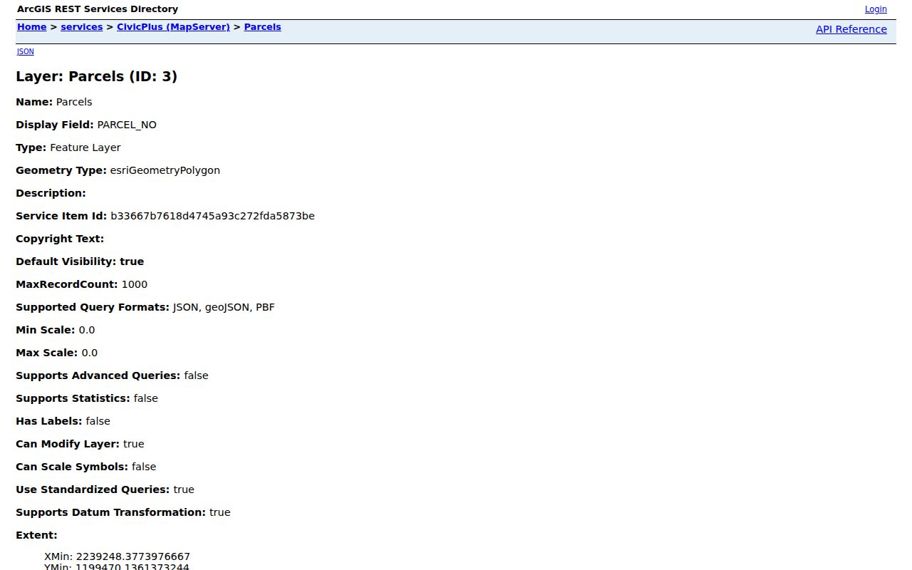
The layer view separates the address label from the legal parcel and shows which districts attach to the site.
For street-by-street work, click polygons in a consistent direction and save the parcel ID with each full address. Parcels that share a boundary are adjacent; lots that only look close at a curve or across a road may not be. The service supports spatial queries, but no simple consumer radius control was verified. Broad results may also need narrowing because the inspected parcel service limits one response to 2,000 records.
- Parcel
- A mapped tract with a county identifier. One postal address can involve more than one parcel.
- Situs address
- The physical location on the appraisal record, distinct from the owner's mailing destination.
- Plat
- A recorded survey drawing that fixes lots, dimensions, roads, and easements.
- Criss-cross directory
- A directory arranged by street and house number rather than only by surname.
Which McDonough Holds the Address
A postal McDonough address does not prove city jurisdiction. ZIP Codes 30252 and 30253 extend beyond the corporate line. Henry GIS keeps postal city, ZIP, jurisdiction, and incorporation as separate fields. The City of McDonough's GIS Mapping Division links Community View for city-limit and council-district checks.
Review the McDonough GIS division page when a city-limit answer affects the request.
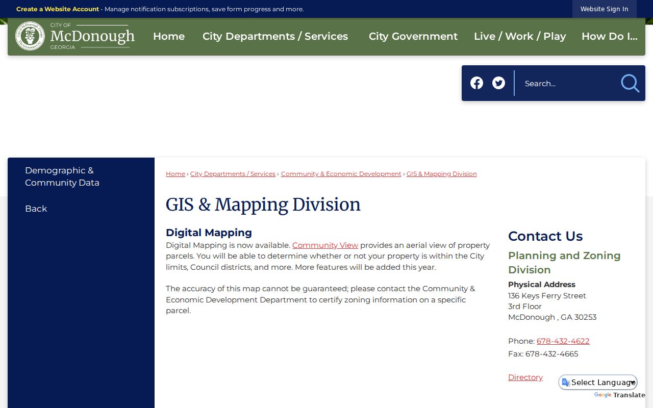
The city source identifies the proper local layer, while Henry County remains custodian for county parcels outside the city.
Annexation can change planning, code, and permit jurisdiction without changing a postal ZIP. No official street-renumbering year was found. When numbers conflict, retain the land lot, subdivision, lot, deed book and page, then compare plats or historic maps.
Note: A mailing label is postal evidence, not a legal city-boundary finding.
McDonough Records Indexed by Address
No single McDonough street directory contains all owners or residents. Each custodian maintains a record for its own work. Chain sources with the parcel number, legal description, party name, and record date.
| Address source | Official keeper | Evidence | Access route |
|---|---|---|---|
| Parcel card | Henry Tax Assessors | Owner, situs, mailing address, values, deed references | qPublic, staff, written request |
| Parcel map | Henry GIS | Lot geometry, ZIP, districts, jurisdiction | Free GIS and qPublic link |
| Deeds, liens, plats | Superior Court Clerk | Parties, instrument, date, book and page | Cott, GSCCCA, counter |
| City planning and code | McDonough divisions | Existing permit, zoning, annexation, code files | Division or Clerk request |
| Historic phone books | Library of Congress | Listed subscriber, address, phone | Free 1974-1977 scans |
For material not indexed online, ask for an existing file by exact address, parcel, subject, and date range. The Georgia Open Records Act requires production or a written timing, cost, or exemption response within three business days, but no agency must create a custom resident list.
Follow McDonough Deeds from a Street
The Henry County Clerk of Superior Court Real Estate Division holds deeds, liens, plats, UCC filings, and land records. Start from the current parcel card. Locate the acquisition deed, note the grantor, grantee, instrument type, recording date, book and page, and legal description, then search the seller as an earlier buyer.
Open Henry County Cott eSearch to review its sign-in and Certified Dates notice.
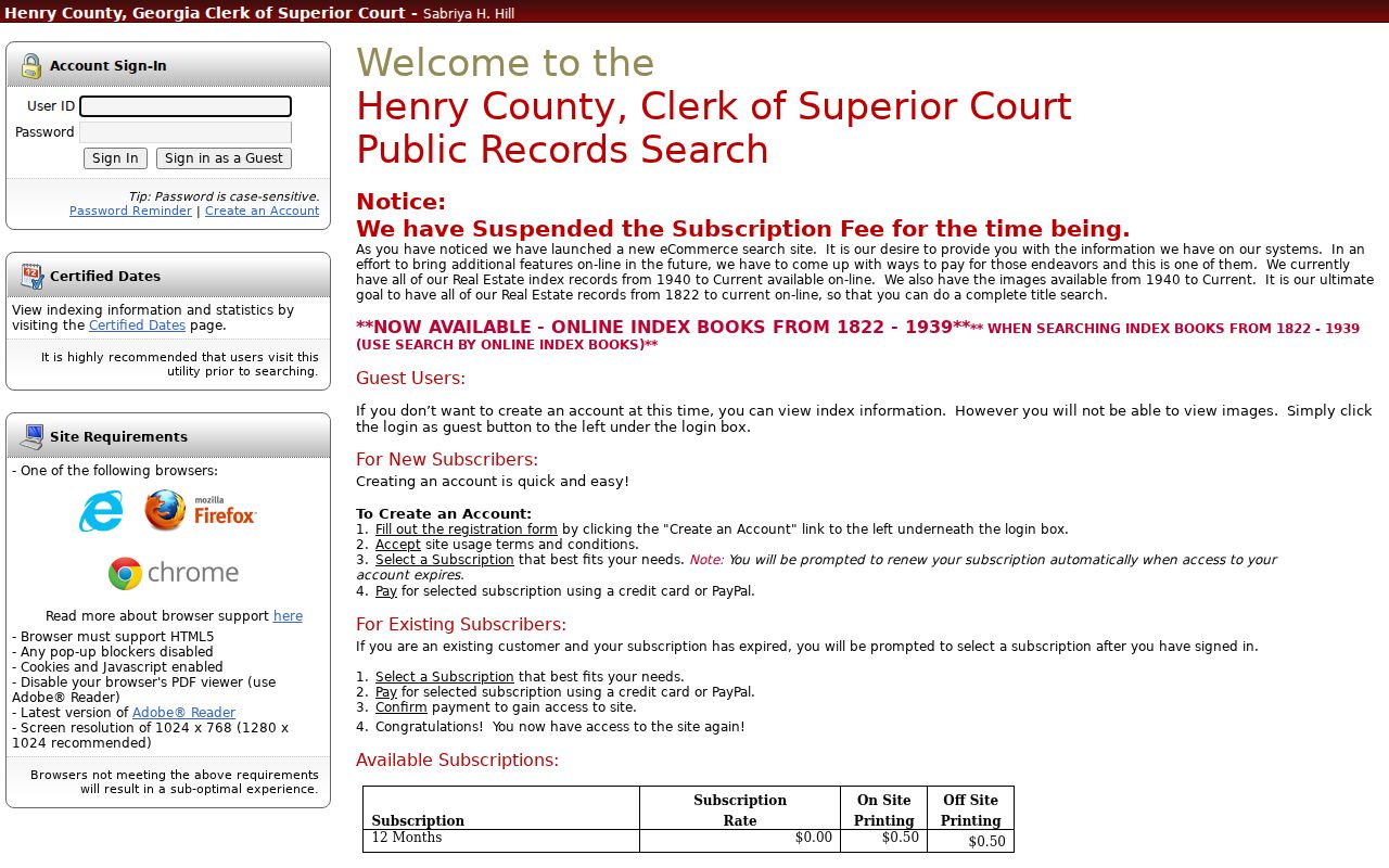
The captured login matters because account access and certified-date coverage must be checked before treating the online index as complete.
The GSCCCA real-estate search offers county, party role, name, instrument type, recording date, book and page, and instrument-number fields.
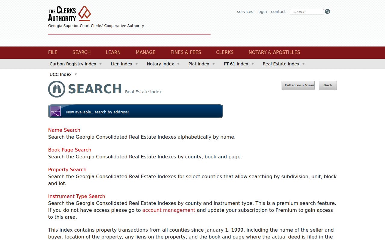
The statewide index bridges participating counties, but an entry is not the deed itself. Read the image or obtain a certified copy when terms matter. At the courthouse, bring name variants, parcel, legal description, and an approximate period. Georgia Archives microfilm helps when the online trail ends.
Grantor means the party transferring an interest, while grantee means the party receiving it. Those roles can change with the document type. A security deed, release, lien, plat, and warranty deed do not tell the same story. Match the land description and instrument type before treating a same-name result as part of the chain. Henry land records are reported back to 1822, yet the exact online indexing and image cutoff was not exposed. Counter books remain a required access path for older work.
Request McDonough Permit Files
No comprehensive public city address database was verified. McDonough Planning and Zoning holds annexation, rezoning, variance, conditional-use, sign, and facade records. Other divisions keep building, code, occupational-tax, and cemetery files. First confirm incorporation through GIS, then contact the likely custodian.
Check McDonough Planning and Zoning before drafting a narrow address request.
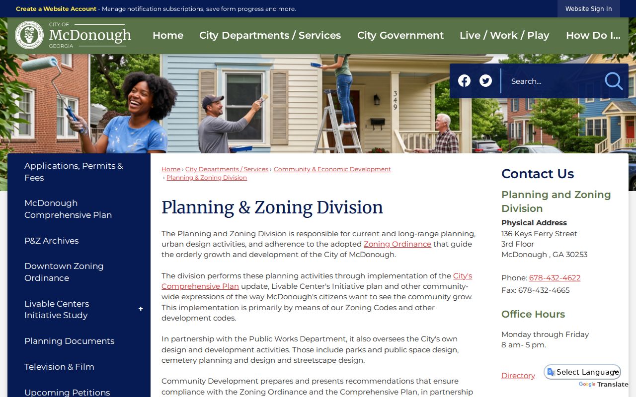
The division page routes city-limit files. Addresses outside the line belong with Henry County.
A non-police request should identify address, parcel, file type, and date span. Send it to the City Clerk or visit City Hall at 136 Keys Ferry Street. The city telephone is 770-957-3915, and Planning and Zoning is 678-432-4622.
Ask for records that already exist, such as a permit file, inspection entry, annexation petition, variance file, or code case. Avoid asking staff to research every person ever connected with the property. The city form accepts a description plus requester contact details, signature, and date. It may be sent to the City Clerk. When the address proves unincorporated, redirect the same narrow request to the matching county department instead of assuming the city has no record.
Old McDonough Streets in Print
Southern Bell white pages for March 1974, March 1975, April and December 1976, and December 1977 are verified online. They list subscribers alphabetically. OCR compresses tokens such as KeysFerryRdMcD, so search street roots, abbreviations, and likely errors, then inspect the scan. A missing name may mean unlisted service, a move, or service under another household member.
The 1905, 1911, and 1923 Sanborn maps show central blocks, building footprints, use, materials, and old numbering, but usually not residents. Brown House holds land-lot maps, newspapers, census and pension microfilm, and family files. Exact reverse-directory years remain unverified. For the shelf and scan method, use the McDonough city directories collection.
Start a Sanborn check at the index sheet, then record the map sheet, old street label, block, building outline, and construction symbols. Compare editions to spot new buildings, demolition, or number changes. The map covers only the historic built-up footprint. Pair it with the legal lot and deeds before deciding that an old numbered building is the same parcel shown in modern GIS.
McDonough Voters Are Not Street Search
Georgia My Voter Page is an authenticated self-lookup. It asks for first initial, last name, county, and date of birth, so it cannot browse a street. The paid voter-list route can supply permitted address and district fields for a geography, subject to O.C.G.A. §21-2-225 and the commercial-use prohibition in §21-2-601. It omits protected identifiers and misses nonvoters, recently moved people, and protected addresses.
Participation history identifies elections, never ballot choices. “Last Party Voted” reflects a primary ballot choice, not permanent party registration. Order only the smallest lawful geography, record its extraction date, and secure the data.
A municipal list costs $65 under the published schedule, while a county list costs $70 and a statewide file costs $485. Smaller precinct and district products are also listed. Price does not turn the file into a full McDonough street directory. It remains a dated voter-administration extract with statutory limits. Henry Elections handles local registration questions, while the Secretary of State order form controls the statewide product, payment, geography, status choice, and noncommercial-use acknowledgment.
Limits of McDonough Street Directories
An assessor card can identify the assessed owner and mailing destination. It cannot identify a renter, guest, child, or full household. A deed proves a recorded transaction and role, not current possession or residence. GIS displays land and jurisdiction. Phone books show listed subscribers only, and historic numbers are not current.
Utility customer and motor-vehicle address data are not public street directories. Protected people may use a substitute address through Georgia's victim-centered confidentiality program. Their absence is not an error to defeat. Use a street directory for genealogy, deed research, consumer safety, or civic questions, and verify facts with the custodian.
Record the source date, the exact address searched, and what the result did not show. That short log makes later updates clear when ownership, jurisdiction, or mailing data changes.
Lawful use. McDonough address records are for lawful personal research. Never use them to stalk, harass, threaten, repeatedly contact, or expose a protected person.